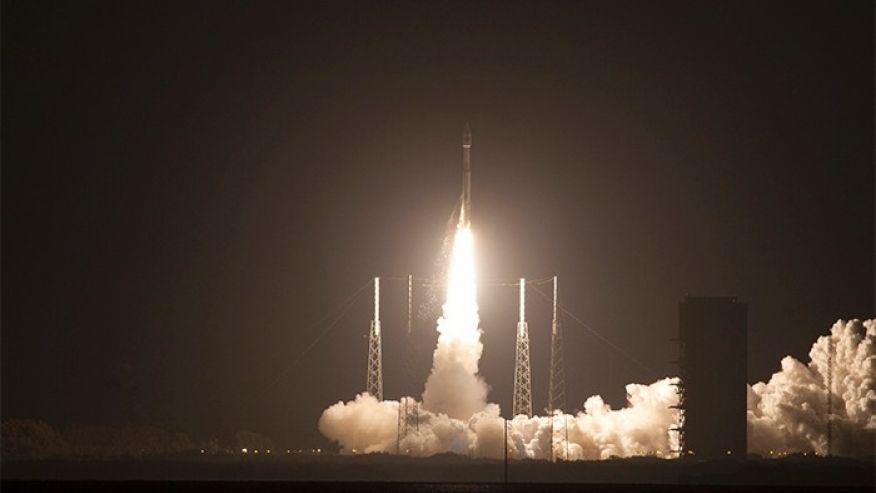
NASA’s high-flying Magnetospheric Multiscale Mission (MMM) has set a new world record by reaching an altitude above the earth no other GPS satellite has ever been to.
The Magnetospheric Multiscale Mission involves the deployment of four satellites to a very high altitude (70,000 kilometers) above Earth’s surface, using GPS navigation. The aim of the satellites is to study the Earth’s magnetosphere, giving us insights into the atmospheric layer. The mission has set a Guinness world record for the highest altitude fix of a GPS signal.

The magnetosphere is the region in the earth’s atmosphere that contains the earth’s magnetic field. The magnetic force experienced in this region comes from the earth’s impact. The magnetosphere is formed by the interaction of solar wind from the sun with the earth’s magnetic field. Therefore, it is important in the understanding of solar flares and solar composition. It can also give us a glimpse into the nature of black holes.
The mission involved the four NASA satellites flying together in a pyramid formation as precise GPS tracking enables them to maintain the right distance from one another and obtain high-resolution three-dimensional observations. The MMS satellites are not only the highest GPS carrying aircrafts; they are also the fastest, reaching 35,405 km/h when the mission is at its closest point to Earth along its orbit.
The Global Positioning System is a satellite navigation system that enables us to track the position of objects by mapping out its coordinates. It is a network of 24 satellites placed into orbit, working together in synchrony.
This is not the first time the mission will be breaking a record. It had earlier broken the record for the closest flying formation between several aircraft flew with a space of 7.24 km separating them.
