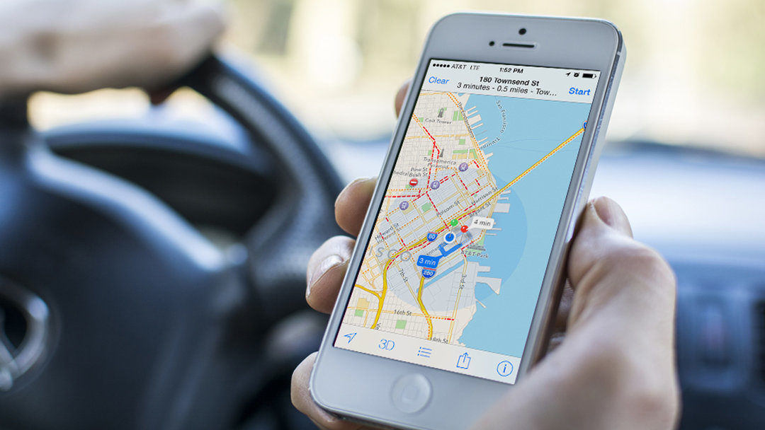
Back in 2012 Apple brought Apple Maps, a first-party mapping solution meant to provide an alternative to Google Maps. Apple Maps first experienced major problems with accuracy and performance and while the company managed to fix the problems, Apple Maps never succeeded in becoming a serious competition to Google’s solution. Now, the Cupertino company is finding new ways of updating its maps and is looking to introduce a new function that may be able to bring Apple Maps a couple of steps closer to, now hugely popular, Google Maps.

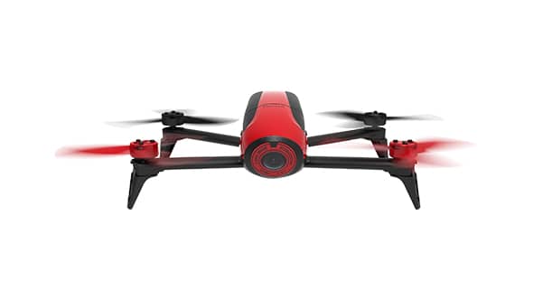
Firstly, MacRumors talks about Apple planning to start using drones and UAVs (Unmanned Aerial Vehicles) as means of updating its maps. This solution could make the maps more accurate and could bring the updates faster than the current solution, which includes using vans in order to update the maps.
Apple drones will be able to analyze traffic signs, identify roads under construction, and spot road changes. Drones could make the updating process way faster. Since Apple already applied for exemption from the FAA (Federal Aviation Administration), reported by Bloomberg, it is highly possible that the company will start using drones soon. It seems FAA approved Apple’s application, with some restrictions. FAA allowed Apple to use drones only during the day, with drones forbidden to fly over people or buildings. Also, if the UAV is used, it must be flown by licensed pilots. The system is supposedly copied from Amazon’s Prime Air program.

Along with drone updates, Apple is planning to introduce an indoor mapping system, allowing users to navigate inside airports, large museums, stadiums, or shopping malls. If the both features go live, Apple could make Google introduce some new features in Google Maps, making them even better. We’ll see will Apple manage to introduce both systems in the near future.
